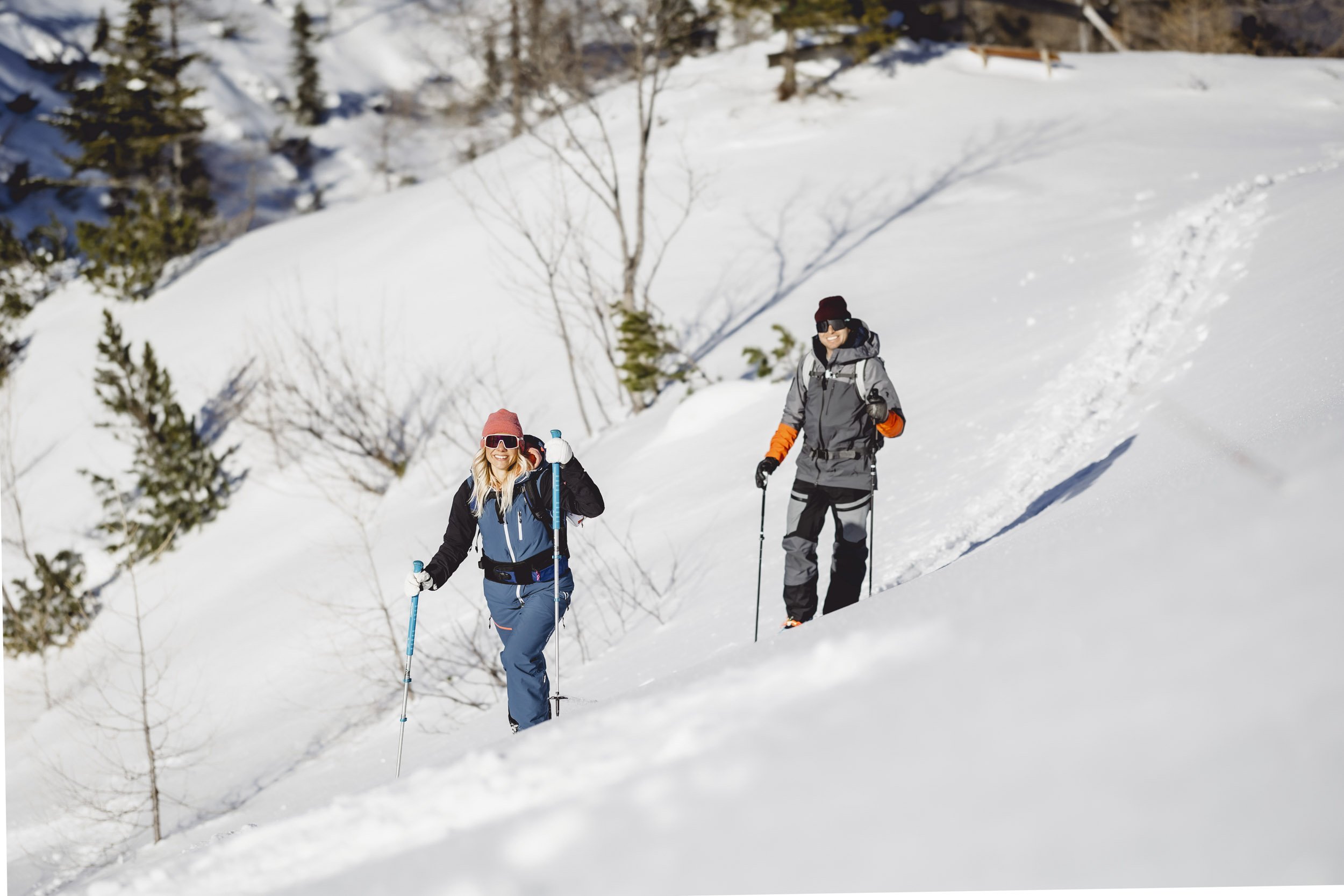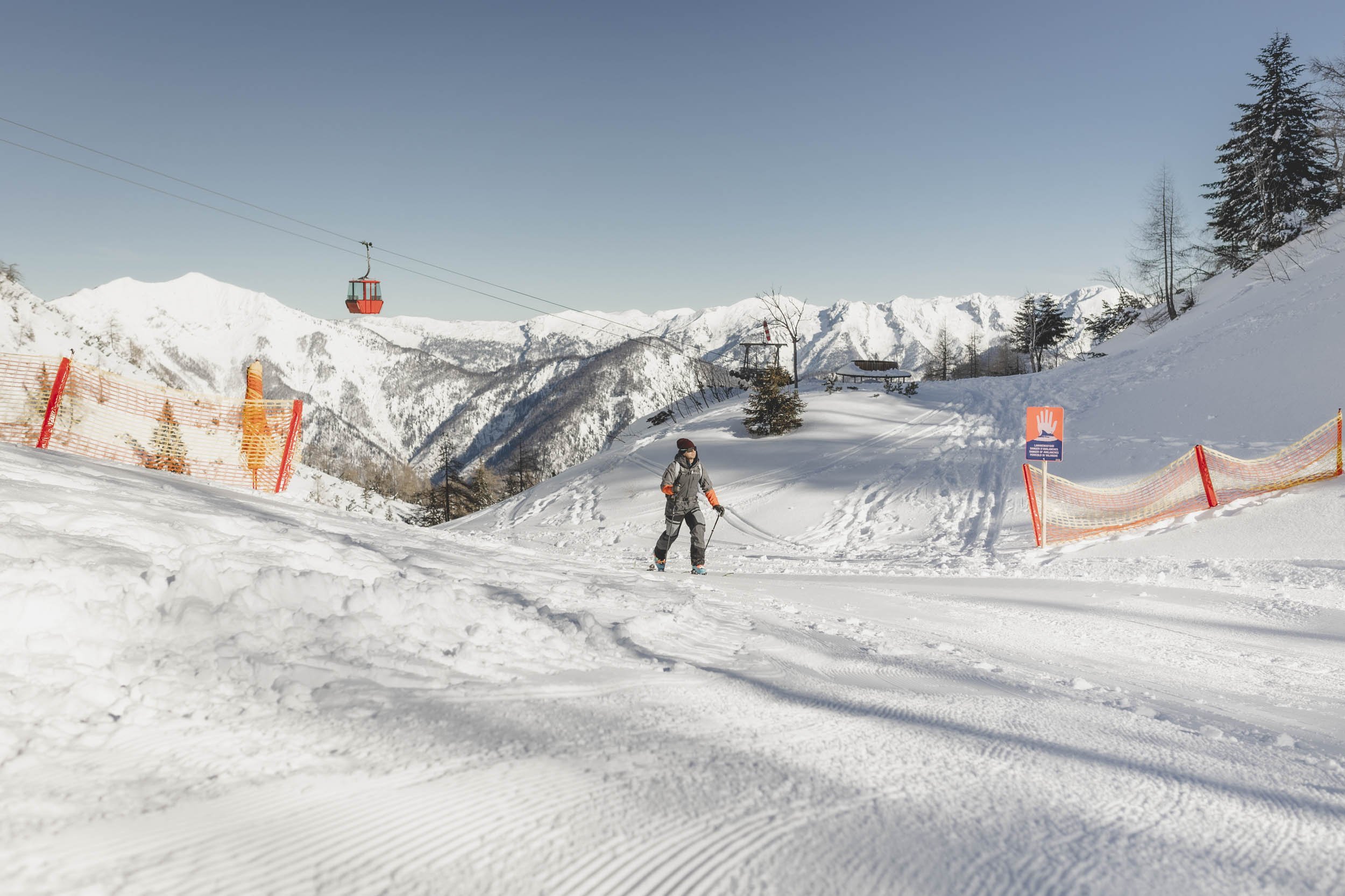


Ski touring paradise Katrinalm
Advancement opportunities
Hiking trail: marked in yellow, trail no. 895 or no. 897.
From the TALSTATION to the KATRINALM
Walking time: depending on the variant 2 - 2.5 hours
Variant 1: Via the winch ditch to Katrin alp
Walking time: 2,5 hours
Directions:
From the parking lot of Katrin cable car you follow the former steep ski slope for about 45 minutes.
At 895m above sea level, a fort road crosses the longer straight. From there turn left, at another crossing turn left again.
Pass under the cable car and leave the road straight ahead at the next left-hand bend. As you continue uphill, you will cross the road several times, first in a south-easterly direction, then in a southerly direction, until you reach an altitude of 1180m.
Then follow the direction to the west (following the mountain ridge) until you reach a crossroads of the summer trail at 1362m above sea level, which is also visible in winter. Keeping to the left, the summer trail climbs only slightly south of the Feuerkogel to the Katrinalm (beware of avalanches!). It is also possible to take a small detour from the crossroads over the summit of the Feuer- and Rosenkogel to the Katrinalm. From the alpine hut, you can finally ski down to the valley on the former ski slope.
From the valley station, always climb up the trail along the former ski slope (trail no. 895). Halfway up, you have the option of either turning left onto a forest road through the Windengraben (trail no. 897, 30 minutes longer) or continuing the ascent via the former ski slope (trail. no. 895).
Variant 2: Via the former ski slope to Katrin alp
Walking time: 2 hours
Directions:
From the parking lot of Katrin cable car you follow the former steep ski slope for about 45 minutes. At 895m above sea level, a fort road crosses the longer straight. From here the ascent goes straight up again via the ski slope.
Safety advice: In unsafe avalanche conditions, caution is advised here, especially in the upper section. Standard safety equipment must always be carried.

