

Route 1: Ascent via the former ski slope
Hiking trail: very steep
Walking time: approx. 2 hours
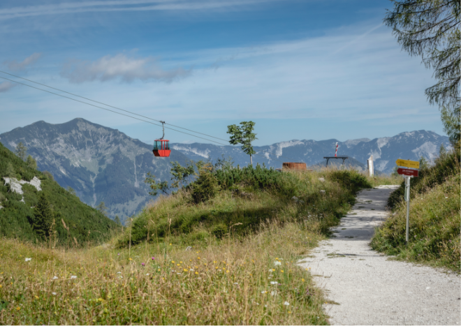
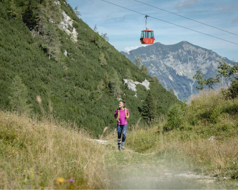
From the valley station, continue uphill along the former ski slope (trail no. 895). Halfway up, you have the option of either turning left onto a forest road through the Windengraben (trail no. 897, 30 minutes longer) or continuing the ascent via the former ski slope (trail no. 895).
Route 2: Ascent via Bilderweg and Windengraben
Walking time: approx. 2.5 hours
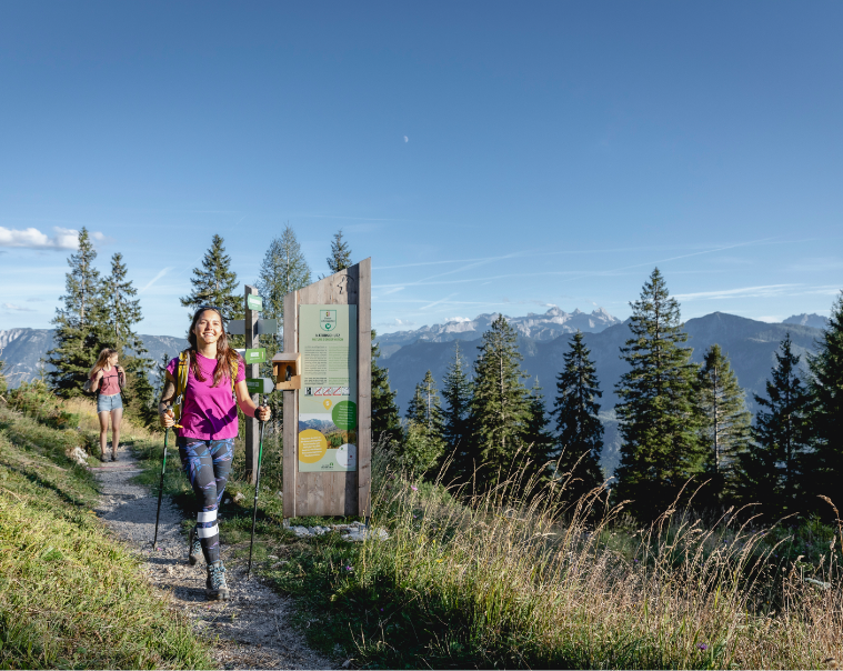
From the valley station, climb a few meters up the former ski slope and follow a forest road to the right below the ruins, past a waterworks. After a few minutes, the picture trail branches off to the left (follow the signposts). At the end of the picture trail - about halfway up - you have the option of either continuing left on a forest road through the Windengraben and the Feuerkögerl (trail no. 897) or taking the steeper ascent via the former ski slope (trail no. 895).
Hiking trail: No. 898 from Lauffen, No. 899 from Weissenbach / Bad Goisern
Walking time: approx. 2 hours
Coming from the south, there are two beautiful paths to Katrin alp . It is possible to start the ascent from the shooting range in Lauffen (trail no. 898) or from Weissenbach/Bad Goisern (trail no. 899).
Ascent from the "south side"

Ascent from the Gasthof "zur Wacht" to the mountain station
Hiking trail: No. 894, very steep
Walking time: approx. 5 hours
Requirements: Long and strenuous, in parts also demanding mountain tour with magnificent views at the transition from Roßkopf to Katrinalm. Surefootedness important!
From the "zur Wacht" inn, right on the Salzburg/Upper Austria border, trail no. 894 leads over the Ahornfeld up to the Rosskopf. From there, there is another path over the Hainzen, followed by the Elferkogel and on to the Katrin alp.